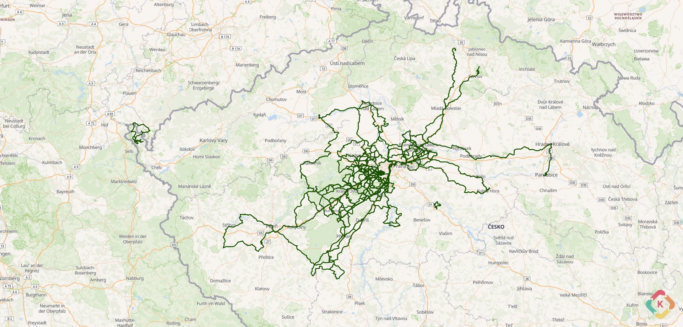
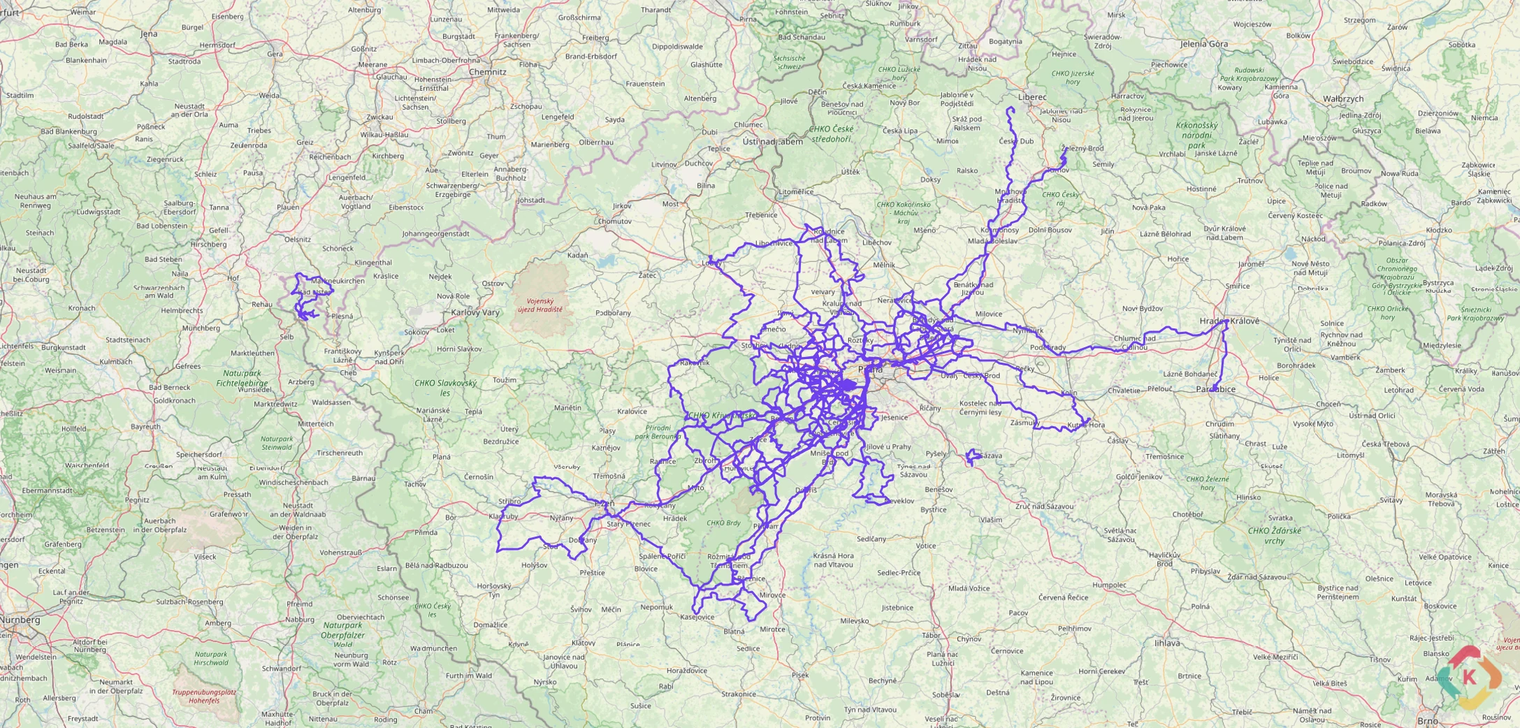
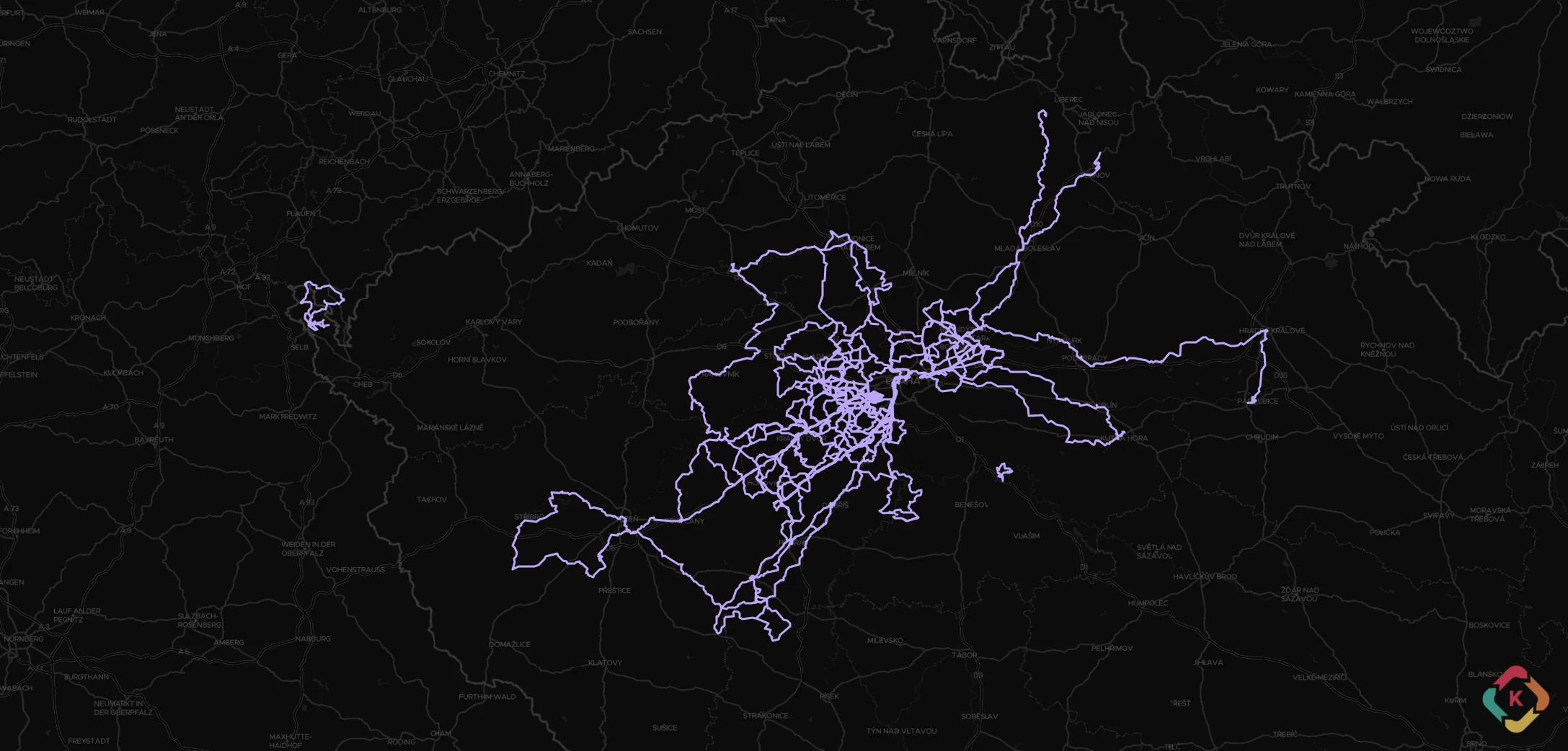
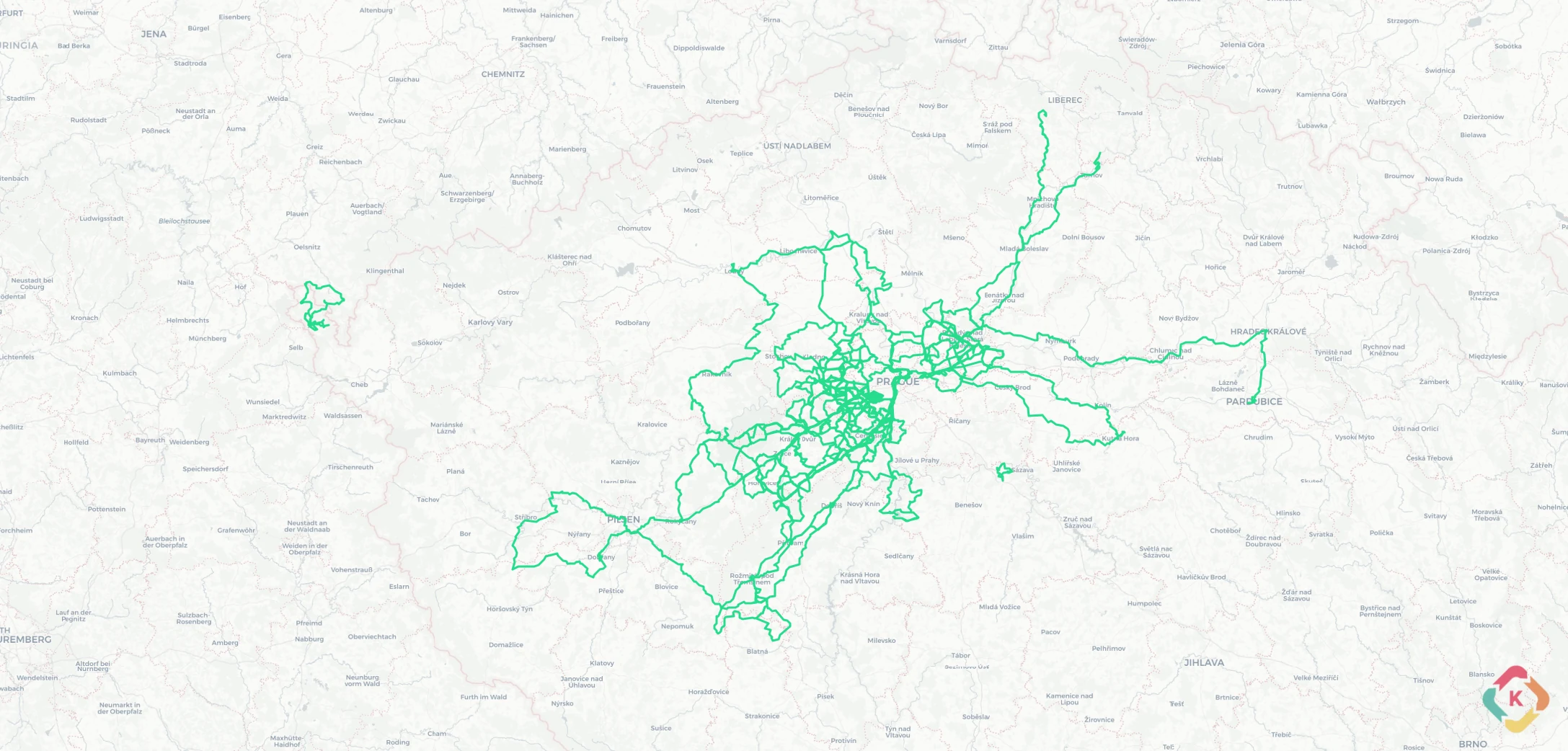
Cartographic Excellence

16 Built-in Basemaps across 7 Providers

From topographic trail maps and cycling networks to high-resolution aerial imagery and dark mode canvases. Configure API keys in .env or leverage built-in keyless providers.

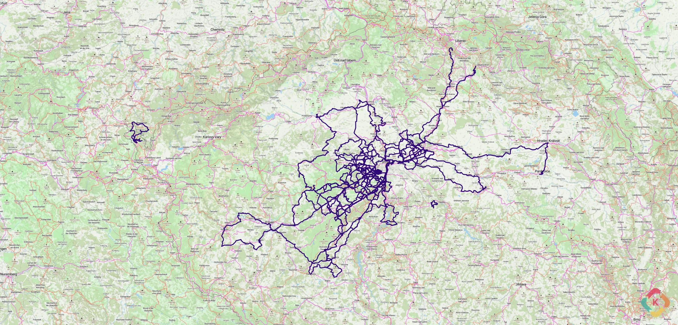
provider: osm_standard
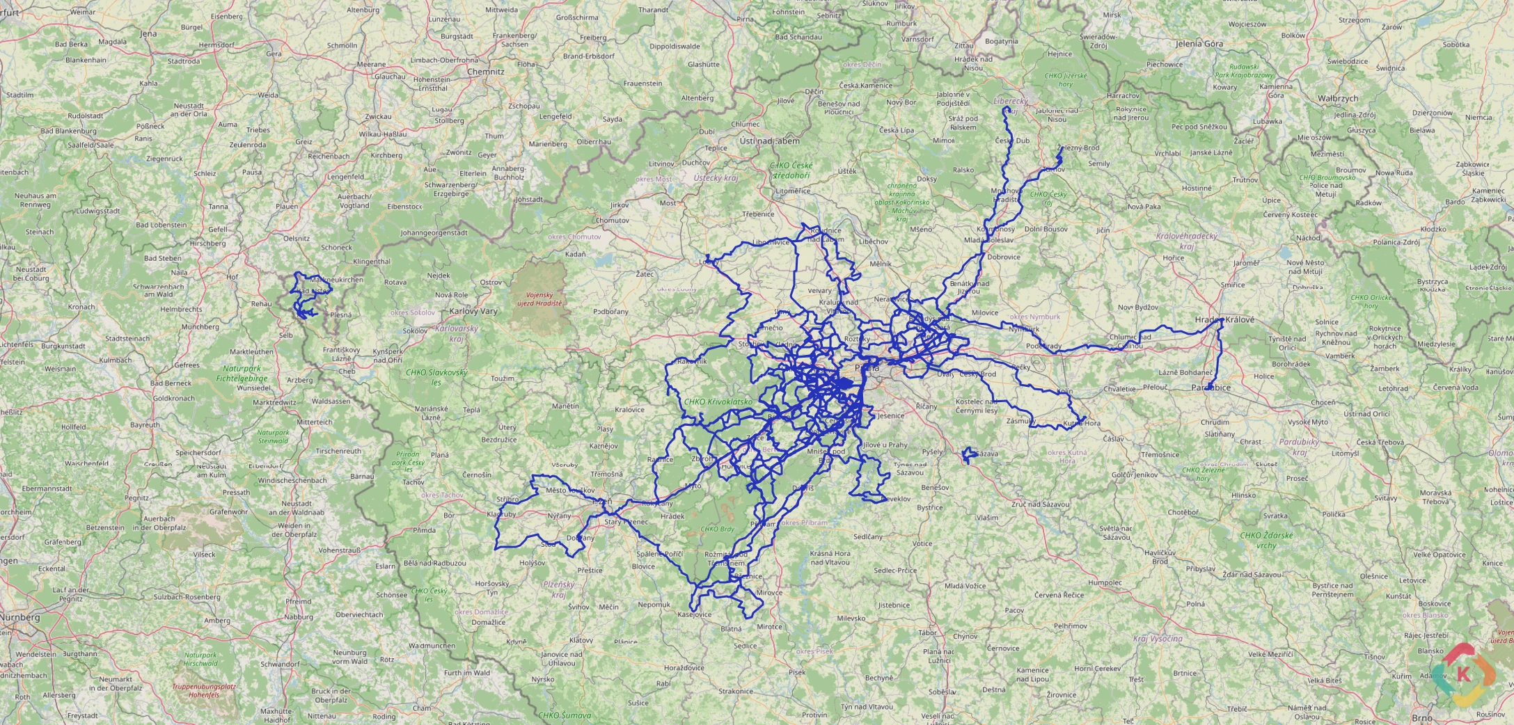
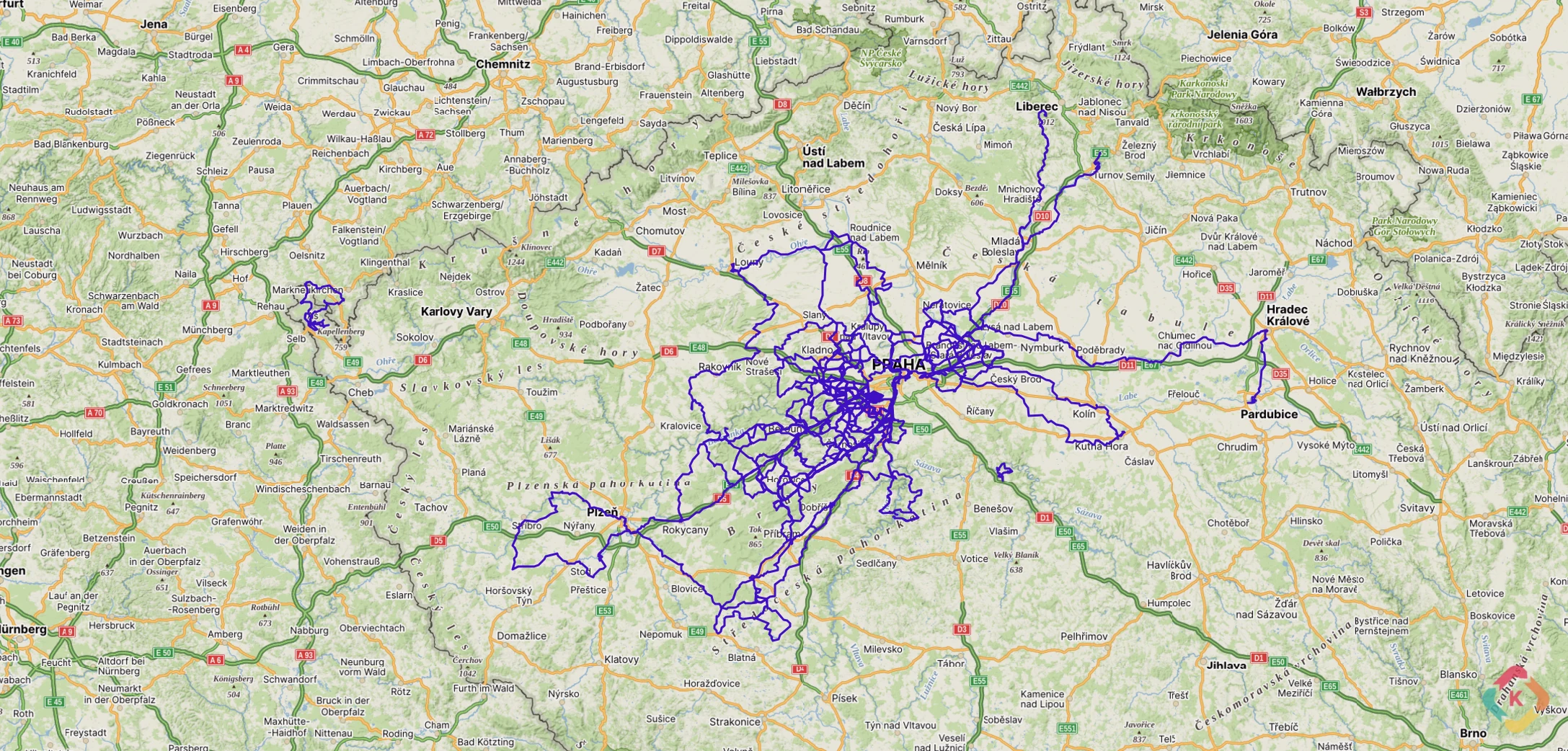
OpenStreetMap (Standard) Screenshot
OpenStreetMap

OpenStreetMap (Standard)

No Key RequiredFree: Unlimited (Proxy)Max Zoom: 19

The universal open-source standard basemap. Kinetiqo routes requests through its built-in Python server-side proxy (/tiles/osm/...) to cache tiles locally and strictly comply with OpenStreetMap Tile Usage Policy.

Environment Variable:(None — Server Proxy)
Monthly Limit:Unlimited local proxy caching
Attribution:© OpenStreetMap contributors
Sign Up:None (Built-in)
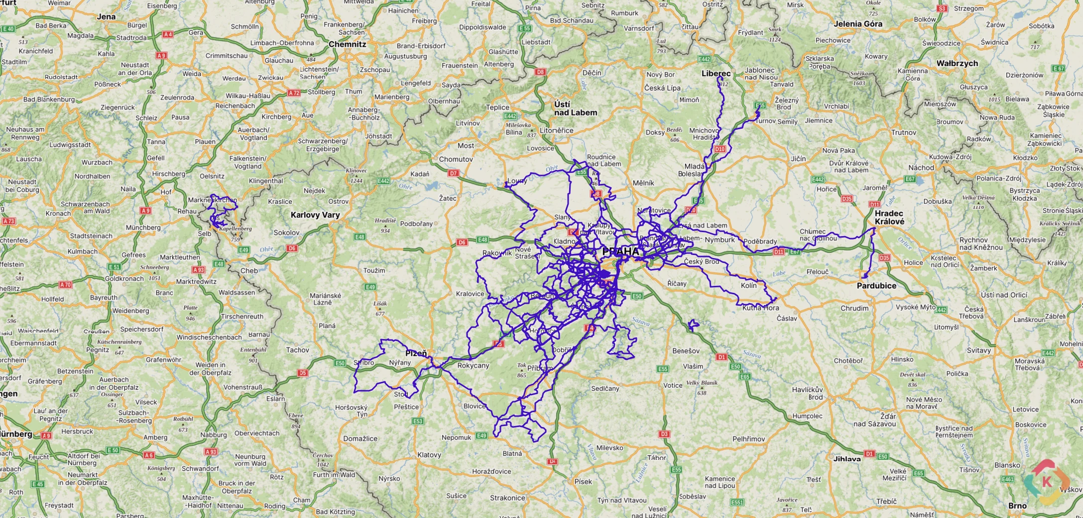
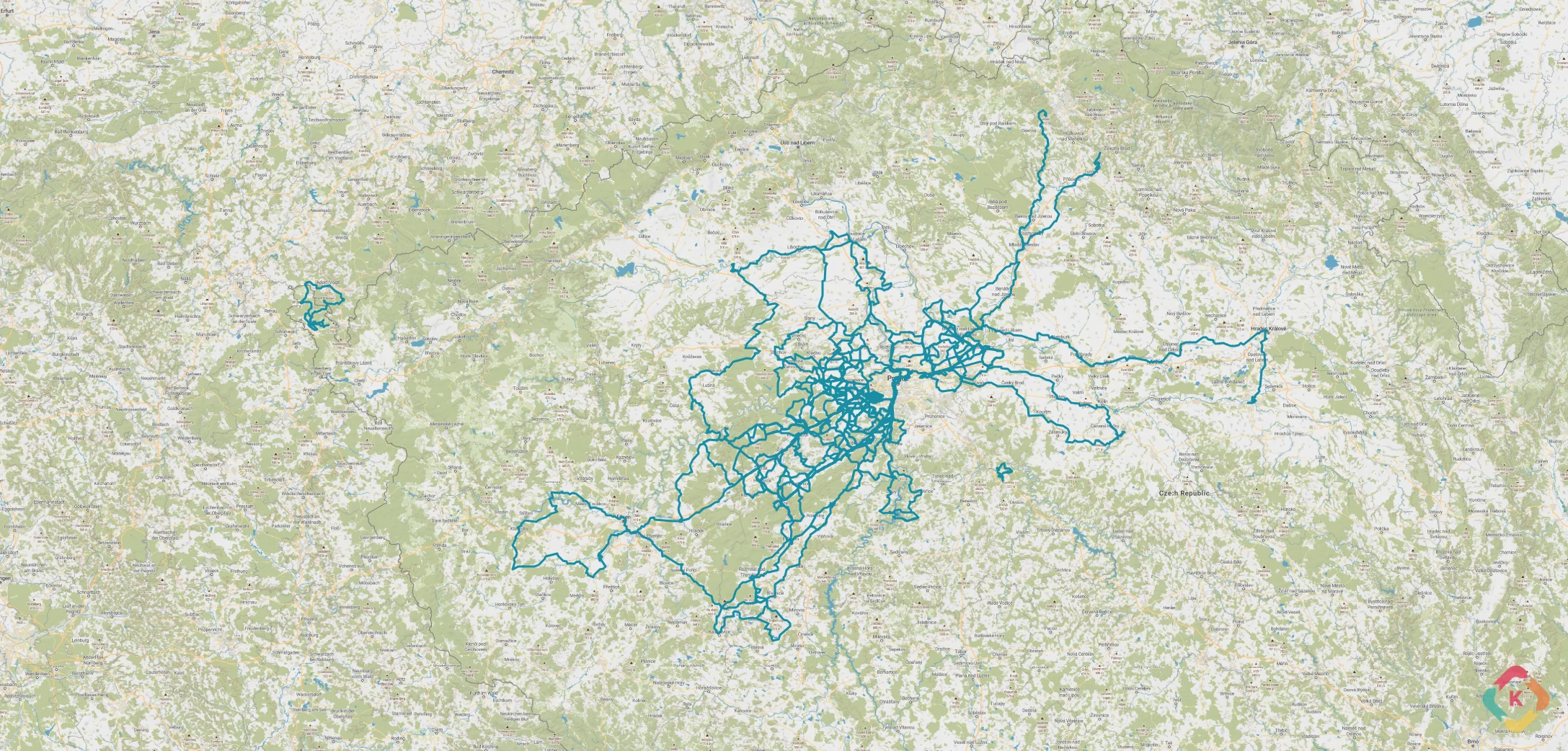
provider: mapy_basic
Mapy.cz (Basic) Screenshot
Mapy.cz

Mapy.cz (Basic)

API Key RequiredFree: 250k credits/moMax Zoom: 19

Clean, high-contrast road and settlement cartography created by Seznam.cz. Perfect for urban cycling, commute tracking, and European road rides.

Environment Variable:MAPY_API_KEY
Monthly Limit:250,000 credits / month
Attribution:Map data © Seznam.cz a.s., OpenStreetMap
provider: mapy_outdoor
Mapy.cz (Outdoor) Screenshot
Mapy.cz

Mapy.cz (Outdoor)

API Key RequiredFree: 250k credits/moMax Zoom: 19

The gold standard for European gravel riding, hiking, and alpine trail runs. Displays marked hiking paths, official cycling routes, mountain elevations, and detailed contour lines.

Environment Variable:MAPY_API_KEY
Monthly Limit:250,000 credits / month
Attribution:Map data © Seznam.cz a.s., OpenStreetMap
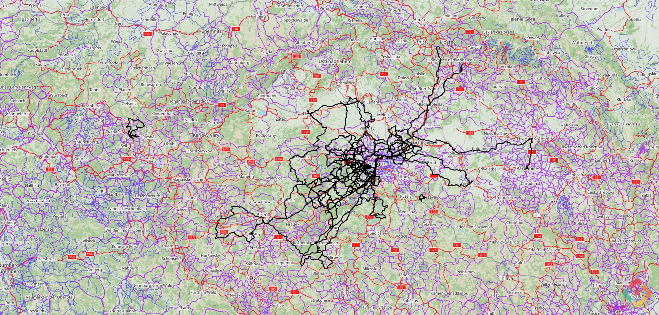
provider: thunderforest_cycle
Thunderforest (OpenCycleMap) Screenshot
Thunderforest

Thunderforest (OpenCycleMap)

API Key RequiredFree: 150k tiles/moMax Zoom: 22

World-standard cycling cartography created by Andy Allan. Highlights National and Regional Cycle Networks, bike paths, hillshading, and elevation contours up to maximum zoom level 22.

Environment Variable:THUNDERFOREST_API_KEY
Monthly Limit:150,000 tiles / month
Attribution:Maps © Thunderforest, Data © OpenStreetMap
provider: thunderforest_outdoors
Thunderforest (Outdoors) Screenshot
Thunderforest

Thunderforest (Outdoors)

API Key RequiredFree: 150k tiles/moMax Zoom: 22

Topographic basemap tailored for mountain hiking, trail runs, and backcountry exploration. Emphasizes natural relief features, woodland coverage, and trail networks.

Environment Variable:THUNDERFOREST_API_KEY
Monthly Limit:150,000 tiles / month
Attribution:Maps © Thunderforest, Data © OpenStreetMap
provider: maptiler_bright
MapTiler (Bright) Screenshot
MapTiler

MapTiler (Bright)

API Key RequiredFree: 100k requests/moMax Zoom: 20

Vibrant, vector-derived high-resolution raster tiles with clear typography. Excellent for crisp activity posters and high-DPI displays.

Environment Variable:MAPTILER_API_KEY
Monthly Limit:100,000 requests / month
Attribution:© MapTiler © OpenStreetMap
Sign Up:maptiler.com
provider: maptiler_outdoor
MapTiler (Outdoor) Screenshot
MapTiler

MapTiler (Outdoor)

API Key RequiredFree: 100k requests/moMax Zoom: 20

Specially tuned for outdoor endurance sports. Integrates shaded hill relief, peak altitude markers, and color-coded trail difficulty ratings.

Environment Variable:MAPTILER_API_KEY
Monthly Limit:100,000 requests / month
Attribution:© MapTiler © OpenStreetMap
Sign Up:maptiler.com
provider: maptiler_topo
MapTiler (Topo) Screenshot
MapTiler

MapTiler (Topo)

API Key RequiredFree: 100k requests/moMax Zoom: 20

Technical topographic elevation map featuring index contour lines and hypsometric tinting for mountain ascents and alpine cycling passes.

Environment Variable:MAPTILER_API_KEY
Monthly Limit:100,000 requests / month
Attribution:© MapTiler © OpenStreetMap
Sign Up:maptiler.com
provider: maptiler_satellite
MapTiler (Satellite) Screenshot
MapTiler

MapTiler (Satellite)

API Key RequiredFree: 100k requests/moMax Zoom: 20

High-resolution global satellite imagery orthophoto layers combined with subtle vector place name labels.

Environment Variable:MAPTILER_API_KEY
Monthly Limit:100,000 requests / month
Attribution:© MapTiler © OpenStreetMap
Sign Up:maptiler.com
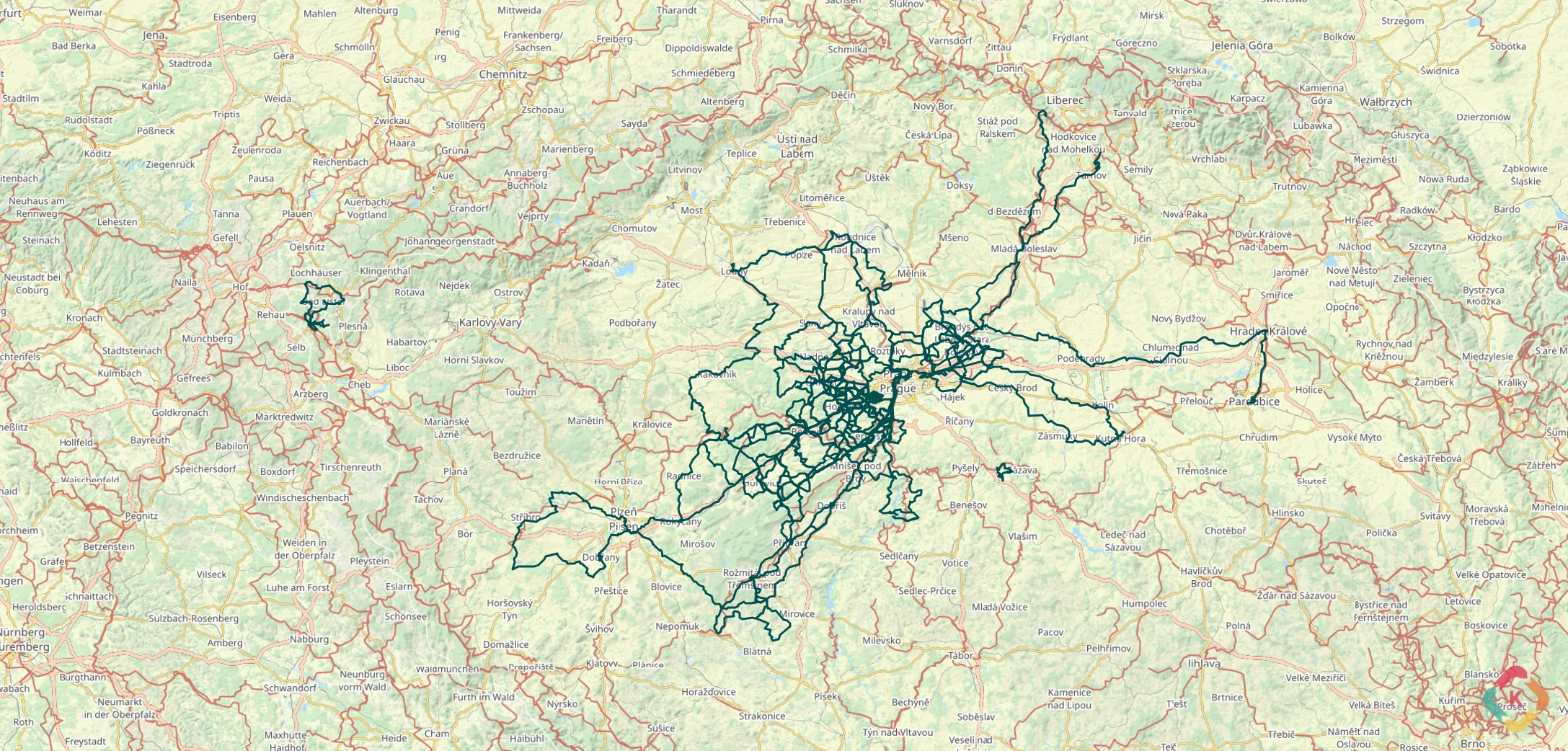
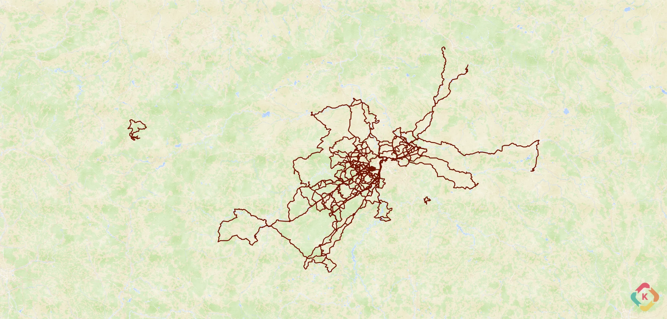
provider: maptiler_aquarelle
MapTiler (Aquarelle) Screenshot
MapTiler

MapTiler (Aquarelle)

API Key RequiredFree: 100k requests/moMax Zoom: 20

Artistic hand-painted watercolor cartography textures. A fan favorite in the Kinetiqo Poster Generator for crafting unique physical wall art prints.

Environment Variable:MAPTILER_API_KEY
Monthly Limit:100,000 requests / month
Attribution:© MapTiler © OpenStreetMap
Sign Up:maptiler.com
provider: geoapify_osm_bright
Geoapify (OSM Bright) Screenshot
Geoapify

Geoapify (OSM Bright)

API Key RequiredFree: 360k tiles/moMax Zoom: 20

Ultra-fast global vector tile rendering powered by Geoapify's CDN network. Provides crisp road networks and high legibility at all zoom levels.

Environment Variable:GEOAPIFY_API_KEY
Monthly Limit:~90k credits / 360k tiles
Attribution:Powered by Geoapify, © OSM
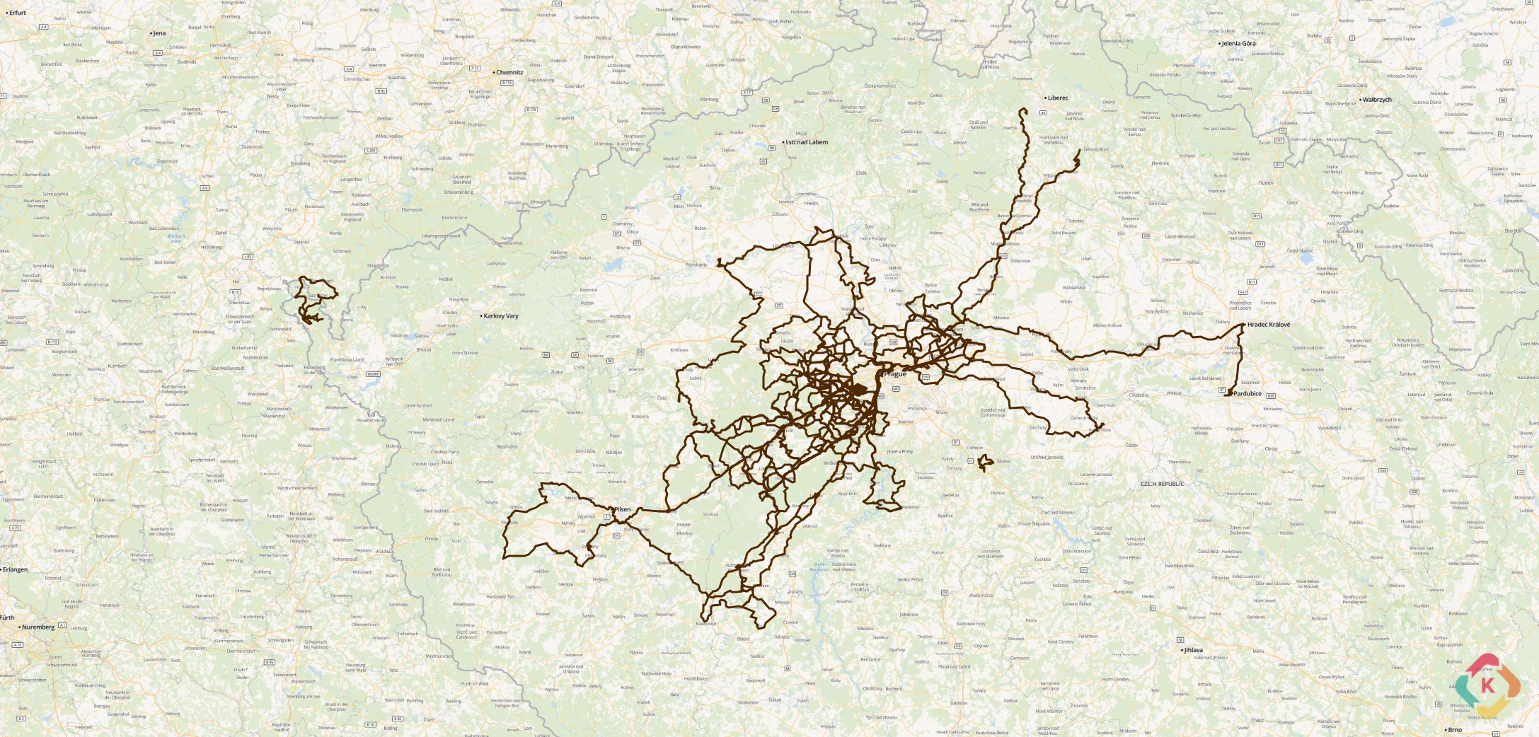
provider: geoapify_osm_carto
Geoapify (OSM Carto) Screenshot
Geoapify

Geoapify (OSM Carto)

API Key RequiredFree: 360k tiles/moMax Zoom: 20

Subtle, muted cartographic palette that provides geographic context without visual clutter. Allows complex multi-lap ride comparisons to take center stage.

Environment Variable:GEOAPIFY_API_KEY
Monthly Limit:~90k credits / 360k tiles
Attribution:Powered by Geoapify, © OSM
provider: geoapify_dark_matter
Geoapify (Dark Matter) Screenshot
Geoapify

Geoapify (Dark Matter)

API Key RequiredFree: 360k tiles/moMax Zoom: 20

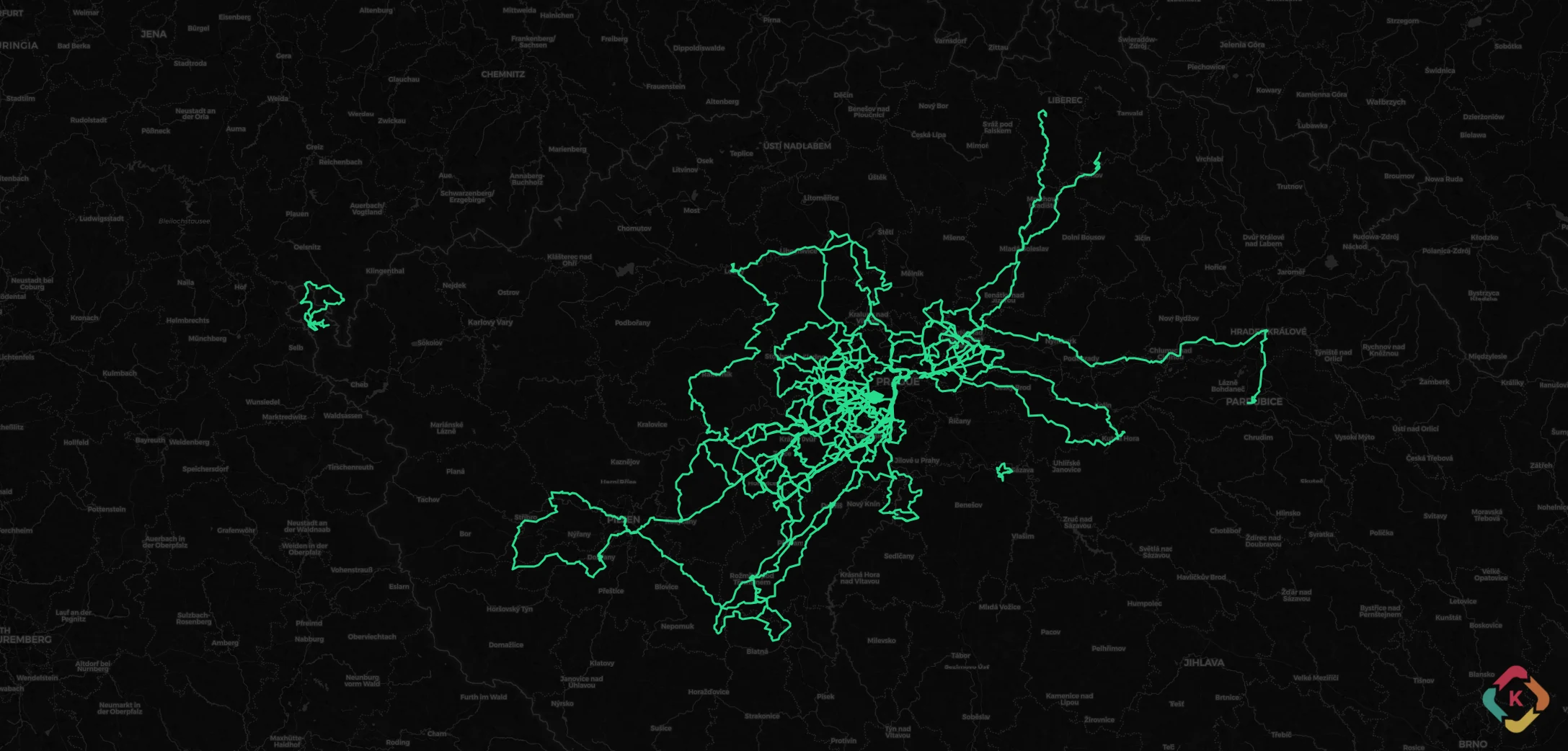
Deep charcoal canvas engineered specifically for dark mode dashboards. Subdues background clutter to make neon Strava activity traces pop with electrifying clarity.

Environment Variable:GEOAPIFY_API_KEY
Monthly Limit:~90k credits / 360k tiles
Attribution:Powered by Geoapify, © OSM
provider: carto_positron
CARTO (Positron) Screenshot
CARTO

CARTO (Positron)

API Key RequiredFree: 5M requestsMax Zoom: 20

Ultra-clean light-gray basemap designed by CARTO. Removes unnecessary visual noise so polyline route overlays and telemetry data stand out sharply.

Environment Variable:CARTO_API_KEY
Monthly Limit:5,000,000 requests
Attribution:© CARTO © OpenStreetMap
Sign Up:carto.com
provider: carto_dark
CARTO (Dark Matter) Screenshot
CARTO

CARTO (Dark Matter)

API Key RequiredFree: 5M requestsMax Zoom: 20

High-contrast dark slate basemap. Ideal for nighttime UI viewing modes and creating high-contrast poster artwork with electric ember polylines.

Environment Variable:CARTO_API_KEY
Monthly Limit:5,000,000 requests
Attribution:© CARTO © OpenStreetMap
Sign Up:carto.com
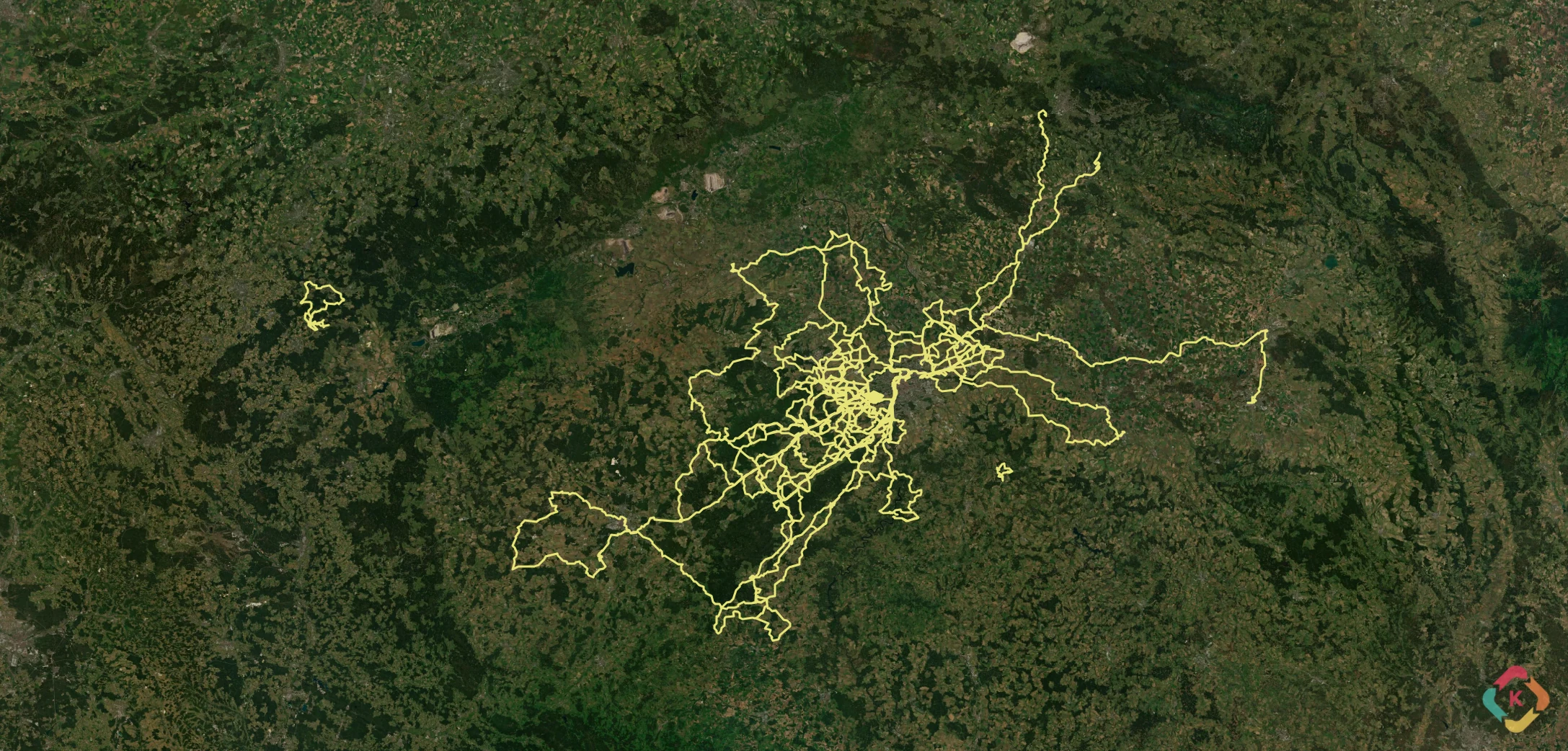
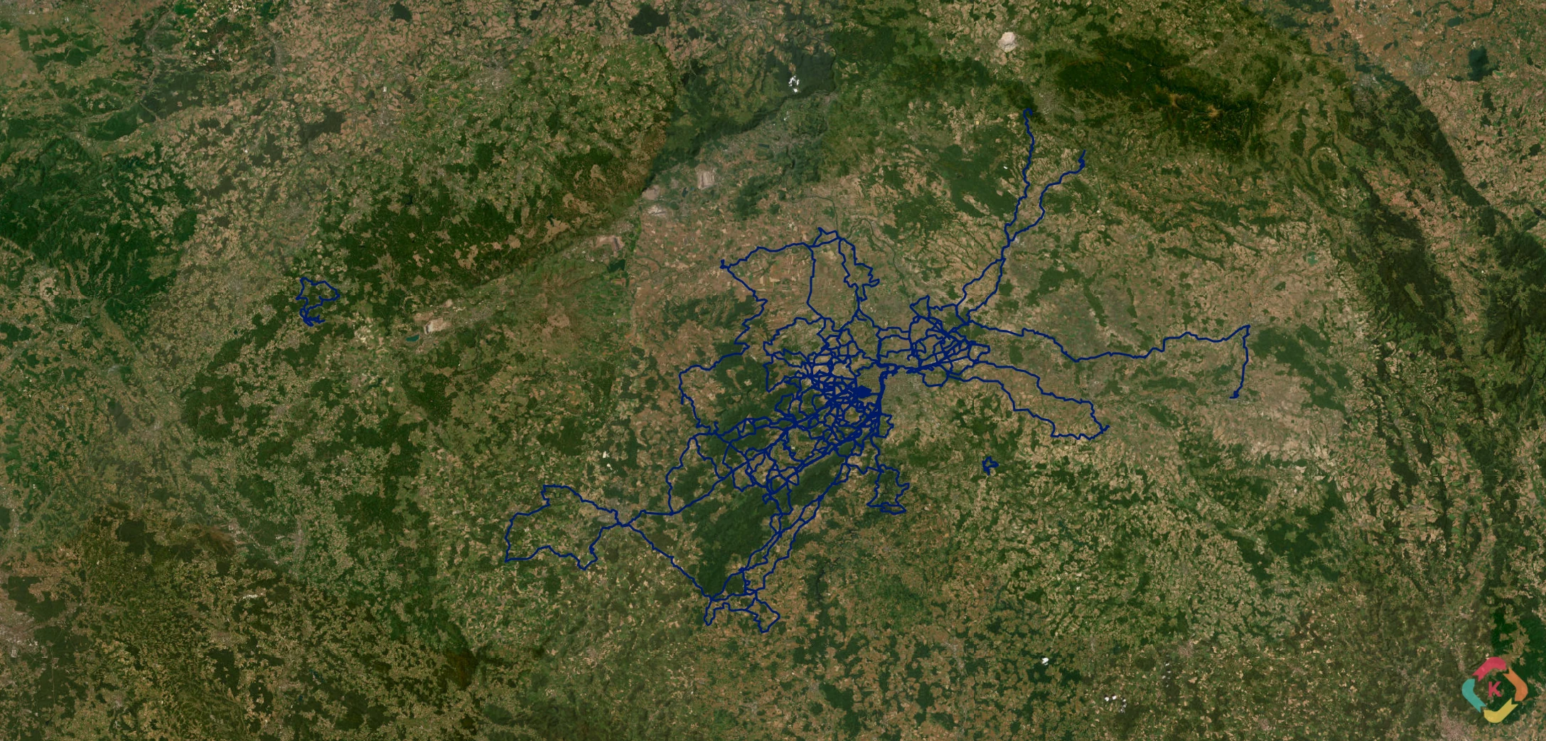
provider: esriworldimagery
Esri World Imagery Screenshot
Esri

Esri World Imagery

No Key RequiredFree: 2M tiles/moMax Zoom: 19

High-resolution satellite and aerial photography provided by Esri, Maxar, and Earthstar Geographics. Unsurpassed real-world terrain detail for mountain ridge routes and coastal trails.

Environment Variable:(None — Public Service)
Monthly Limit:2,000,000 tiles / month
Attribution:Tiles © Esri, Maxar, Earthstar Geographics
Sign Up:arcgis.com

Complete Basemap Technical Matrix

ProviderLayer VariantEnv VariableKey RequiredFree Tier LimitMax Zoom
OpenStreetMapOpenStreetMap (Standard)(None — Server Proxy)No (Keyless)Unlimited local proxy cachingMax Zoom: 19
Mapy.czMapy.cz (Basic)MAPY_API_KEYYes250,000 credits / monthMax Zoom: 19
Mapy.czMapy.cz (Outdoor)MAPY_API_KEYYes250,000 credits / monthMax Zoom: 19
ThunderforestThunderforest (OpenCycleMap)THUNDERFOREST_API_KEYYes150,000 tiles / monthMax Zoom: 22
ThunderforestThunderforest (Outdoors)THUNDERFOREST_API_KEYYes150,000 tiles / monthMax Zoom: 22
MapTilerMapTiler (Bright)MAPTILER_API_KEYYes100,000 requests / monthMax Zoom: 20
MapTilerMapTiler (Outdoor)MAPTILER_API_KEYYes100,000 requests / monthMax Zoom: 20
MapTilerMapTiler (Topo)MAPTILER_API_KEYYes100,000 requests / monthMax Zoom: 20
MapTilerMapTiler (Satellite)MAPTILER_API_KEYYes100,000 requests / monthMax Zoom: 20
MapTilerMapTiler (Aquarelle)MAPTILER_API_KEYYes100,000 requests / monthMax Zoom: 20
GeoapifyGeoapify (OSM Bright)GEOAPIFY_API_KEYYes~90k credits / 360k tilesMax Zoom: 20
GeoapifyGeoapify (OSM Carto)GEOAPIFY_API_KEYYes~90k credits / 360k tilesMax Zoom: 20
GeoapifyGeoapify (Dark Matter)GEOAPIFY_API_KEYYes~90k credits / 360k tilesMax Zoom: 20
CARTOCARTO (Positron)CARTO_API_KEYYes5,000,000 requestsMax Zoom: 20
CARTOCARTO (Dark Matter)CARTO_API_KEYYes5,000,000 requestsMax Zoom: 20
EsriEsri World Imagery(None — Public Service)No (Keyless)2,000,000 tiles / monthMax Zoom: 19

Configuring Map Keys in .env

Map providers without an API key work out-of-the-box. To enable key-dependent providers, register a free developer account and add your keys to your .env file:

.env — Map Provider API Keys
# Kinetiqo Map Provider API Keys (All Optional)
MAPY_API_KEY=your_mapy_cz_api_key_here
THUNDERFOREST_API_KEY=your_thunderforest_api_key_here
MAPTILER_API_KEY=your_maptiler_api_key_here
GEOAPIFY_API_KEY=your_geoapify_api_key_here
CARTO_API_KEY=your_carto_api_key_here